


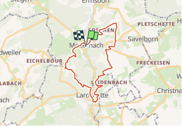

12.5 km | 16.5 km-effort

User GUIDE


FREE GPS app for hiking
 SityTrail
IGN / Geographical institutes
SityTrail World
The world is yours!
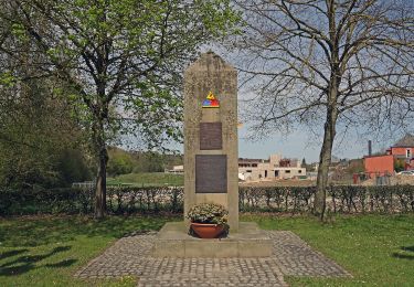
Trail Walking of 13.7 km to be discovered at Unknown, Canton Diekirch, Vallée de l'Ernz. This trail is proposed by mumu.larandonneuse.
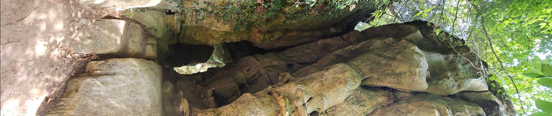
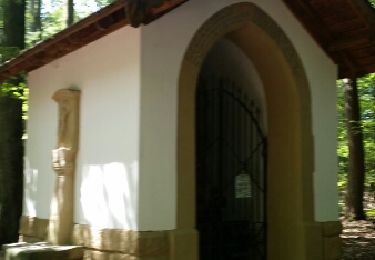
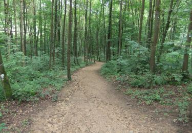
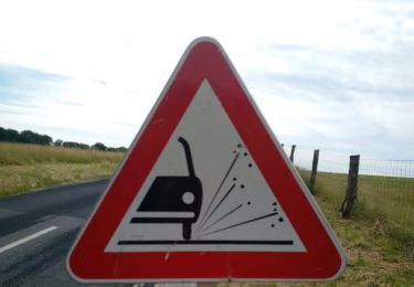
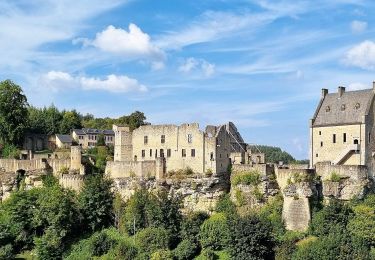
Départ possible directement du 🏕 Auf Kengert, un itinéraire varié avec de superbes vues sur le château 🏰 de Larochette, alternant forêts 🌲🌳, prairies 🐄🐂 et grands espaces, le long de l'eau 💧 et à travers la localité de Larochette.
Balade la plus longue des sentiers locaux du Müllerthal.


Walking
On foot
On foot
On foot
On foot
On foot

On foot
On foot
On foot
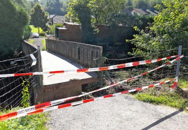
Pas la plus jolie balade du Müllerthal (trop de bitume pour la partie campagnarde). Par contre de beaux panoramas depuis le plateau.